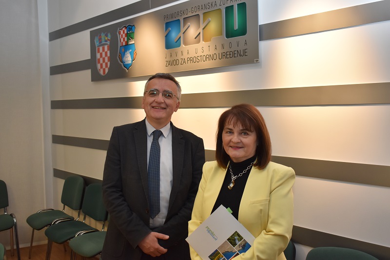
On Wednesday 19th April 2023, in the public institution Institute for Physical Planning of Primorje-Gorski Kotar County a press conference was held when the director Adam Butigan presented the work of the Institute in 2022 and the digital services VidiPlan, PratiPlan and IzvadiPlan.
On behalf of the county, the head of the Administrative Department for Physical Planning, Construction and Environmental Protection, Associate Professor Koraljka Vahtar-Jurković PhD addressed the media present.
Director Mr Butigan pointed out that the basic task of the Institute for Physical Planning of Primorje-Gorski Kotar County, through the preparation of the county's spatial plan and its amendments and additions, is to ensure the economic and social development of the county's territory with the rational use and purposeful management of resources for the protection of the space. In connection with this, and recognising the numerous proposals and initiatives for the improvement of the current Spatial Plan of Primorje-Gorski Kotar County during 2022, other amendments and additions to the Spatial Plan were adopted, and the process of making third amendments and additions was initiated. Likewise, in March 2022 the Report of the situation in the area of Primorje-Gorski Kotar County for the period of 2017-2020 was also accepted by the County Assembly. The Institute undertook the preparation of reports on the state of the space for two municipalities and the preparation of four amendments and additions to the spatial development plans of municipalities or cities in cases where the need for creating spatial planning preconditions for the realisation of buildings of national or county importance was shown.

Furthermore, several of the Institute’s other more notable activities in 2022 were mentioned.
The scientific specialist publication was completed and publicly presented: The Vulnerability Analysis of the Coastal Area of Primorje-Gorski Kotar County due to rising sea level as the result of a multi-year project carried out by the Institute in cooperation with the Faculty of Civil Engineering from Rijeka, which deals with the assessment of the vulnerability of the coastal settlements of Primorje-Gorski Kotar County due to climate change and sea level rise.
Upon the incentive of the Tourist Board of Gorski Kotar, the Institute created and presented the specialist document Spatial identities of rural settlements in Gorski Kotar - Guidelines for the planning of settlements in Gorski Kotar. The guidelines define the standards for planning the further development of the settlements and the design of traditional buildings.
The project was completed and presented to the general and professional public: The development of sustainable tourism in Primorje-Gorski Kotar County for the pilot area of the Crikvenica-Vinodol Riviera which deals with the examination of the reception capacity of the area and determining the tourist reception capacity of the destination.
One of the more significant activities was bringing the process of spatial planning closer to the expert and general public, which was done within the Geoportal of Primorje-Gorski Kotar County as a central point of access to a range of content and services.
Some of the contents presented today represent an innovative approach to the digitalisation of the segment of physical planning:
- PratiPlan – the digital browser that facilitates public participation in the physical planning process. It enables information about spatial plans being produced and at public hearings. PratiPlan also enables subscription to receive notifications about the progress of spatial plans for a desired area, which makes it unique in Croatia.
- VidiPlan – the digital browser that makes the process of spatial planning more transparent, and information from spatial plans more accessible to the public. VidiPlan combines all official and daily updated data, enabling the identification and review of adopted spatial plans of all levels for a selected location.
- IzvadiPlan – enables and facilitates the use of official spatial planning data for any selected area in the county. IzvadiPlan enables the production of an official extract from the graphic part of the Spatial Plan of Primorje-Gorski Kotar County.