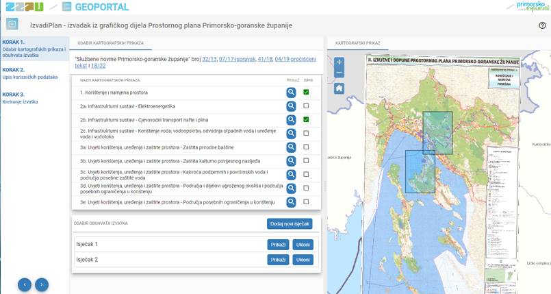
It was produced with the aim of enabling the wider and expert public the production of an official extract from the graphic part of the Spatial Plan of Primorje-Gorski Kotar County (OG PGC number 32/13, 07/17-correction, 41/18, 04/19-consolidated text and 18/22).
The extract is issued electronically and is valid without a signature or stamp. The credibility of the extract is determined via a QR code or control number on the homepage of the extract. The graphic part is represented by scanned and georeferenced cartographic representations of the original Spatial Plan of Primorje-Gorski Kotar County, with the associated legends and components adapted for printing in A4 format.
The application has been developed in cooperation with the company GDi. The data is regularly maintained by the Institute of Physical Planning of PGC.