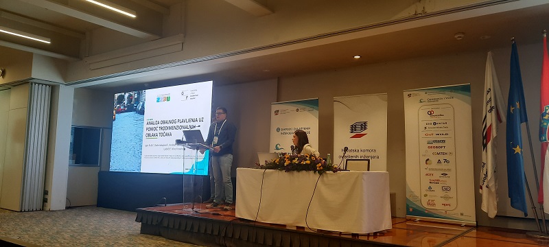
Through various discussions and panels, as well as conversations with the invited guests, the role of geodesists and related professions in improving water management and use, both locally and globally, was analysed.

In collaboration with representatives of the Faculty of Civil Engineering in Rijeka, the Institute held a presentation on the topic of Coastal flooding analysis with the help of a three-dimensional point cloud, which presented the basic conclusions of the analysis of coastal flooding of the urban areas of Cres, Rab, Punat and Opatija (Volosko). This is the second phase of the project that aims to analyse the vulnerability of the coastal area of Primorje-Gorski Kotar County due to rising sea levels and to increase the degree of adaptation to this u...