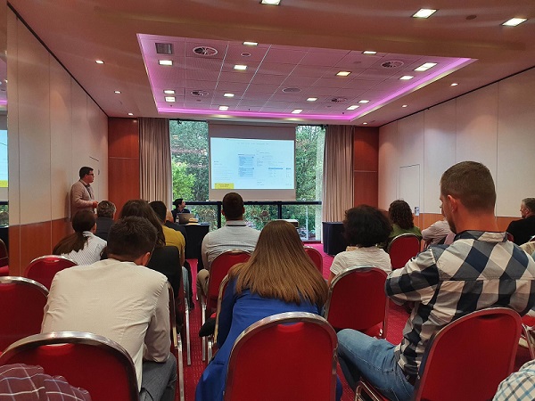
News relating to the FME software, which the Institute has been using intensively since 2017, was presented at the conference. A series of user presentations were held where the participants presented their own solutions and the possibilities of using FME software in solving complex tasks when manipulating spatial data.
The representative of the Institute presented a desktop that retrieves the data of the digital cadastral plan (DCP) in the Physical Planning Information System of PGC. It concerns the data that the Institute downloads from the web service of the State Geodetic Administration of the Republic of Croatia.

With the use of FME software, as the leading ETL tool, the Institute can perform automated data manipulation for a large number of tasks that are repeate...